

Sörenberg
Elevation: 1,110 m – 2,298 m
Skiing in Sörenberg
Sörenberg Info
Webcams in Sörenberg


Rothorn Webcam, Eisee – Elevation: 1,959 m.
Do you know of any other webcams for this resort? Let us know here
Webcams from nearby resorts Around Sörenberg
About Sörenberg
Sörenberg is the largest ski resort in the canton of Lucerne, located in the heart of the Entlebuch UNESCO Biosphere Reserve. Its ski area ranges in elevation from 1,110 to 2,298 meters, extending all the way to the summit of the Brienzer Rothorn, the canton’s highest peak.
Twelve lifts serve about 40 kilometers of slopes. The Rossweid area is ideal for families, while the Rothorn and Eisee offer longer and steeper runs.
Sörenberg also offers night skiing, toboggan runs, cross-country skiing, and numerous winter hiking and snowshoeing trails.
The Swiss Ski School in Sörenberg offers lessons for all ages. Children under 8 ski for free.
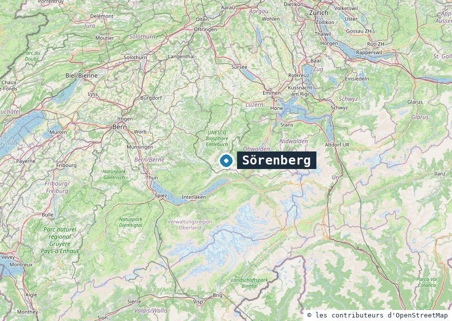
Map of Sörenberg. Map © OpenStreetMap contributors.