Meiringen-Hasliberg
Elevation: 1,065 m – 2,433 m
Skiing in Meiringen-Hasliberg
Meiringen-Hasliberg Info
Meiringen-Hasliberg Webcams

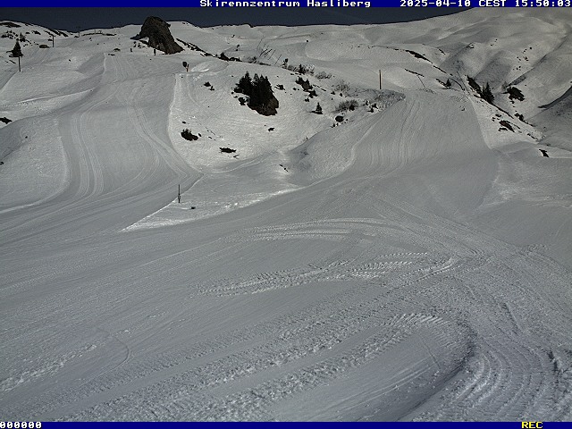
Ski Resort Webcam – Elevation: 1,884 m.

Bidmi Webcam – Elevation: 1,423 m.
About Meiringen-Hasliberg
The Meiringen-Hasliberg ski area stretches across a sunny terrace in the Bernese Oberland, above Meiringen and the Aare Valley. A cable car runs from Meiringen to Hasliberg Reuti, and from there, gondolas take skiers to Bidmi, Mägisalp, and Planplatten. A second route runs from Hasliberg Twing to Käserstatt.
The slopes, mostly red, reach an elevation of 2,433 meters. Families enjoy Skihäsliland in Bidmi and the Swiss Ski School, while freestyle enthusiasts love Bali’s Park. Night skiing and sledding are available on New Year’s Eve and on Fridays from January through early March.
About 25 km of winter hiking trails, snowshoe trails, cross-country skiing, and sledding round out the offerings. Children ride for free on their birthday.
Meiringen is served by the Brünig Line between Lucerne and Interlaken. Meiringen-Hasliberg is part of the Magic Pass since the 2025–26 season.

Map of Meiringen-Hasliberg. Map © OpenStreetMap contributors.